Explore Earth's Orbital Network

Track satellites in real-time, analyze Earth imagery, monitor weather patterns, and discover our planet from space with professional-grade tools.

3,000+
Active Satellites
24/7
Real-time Tracking
Global
Coverage
01

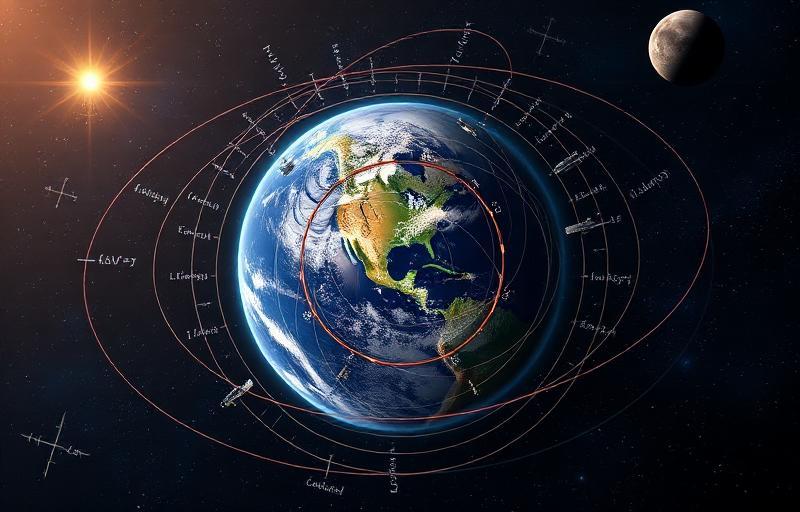
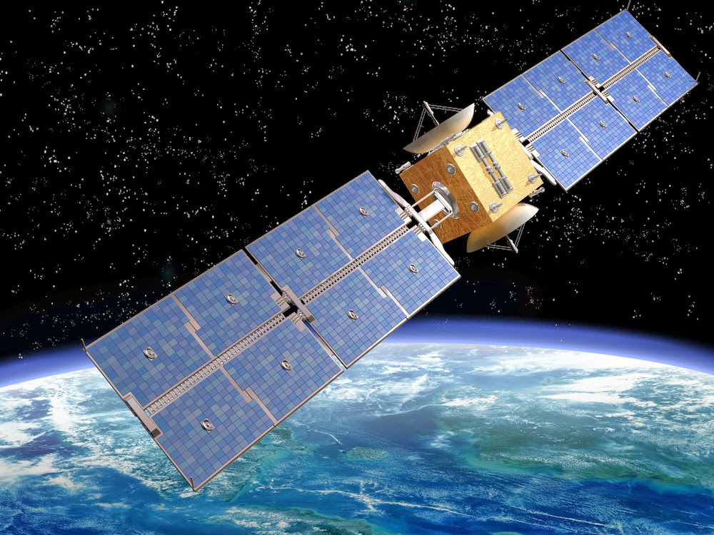
Location and Tracking

Precision location services for satellite tracking. Our system uses GPS coordinates to determine your exact position and calculate satellite passes with NASA-grade accuracy.

Ground Station Setup
Latitude
Longitude
Tracking Status
Ready for positioning
GPS Satellite Network

Global Positioning System

Advanced GPS constellation provides centimeter-level accuracy for satellite tracking operations worldwide.

Satellite Launch

International Space Station

Track the ISS and thousands of other satellites orbiting Earth at 27,600 km/h in real-time.

02

Satellite Monitoring

Real-time satellite tracking using NORAD two-line elements. Monitor orbital parameters, pass predictions, and visibility windows with professional accuracy.

Mission Control
Orbital Mechanics
LEO 160-2000km
MEO 2000-35786km
GEO 35786km
03

Earth Observation

Access NASA's Earth Imagery API for high-resolution satellite photography. Analyze land use, weather patterns, and environmental changes from space.

Imaging Systems
Earth Observation Facts
  • Landsat program: 50+ years of Earth monitoring
  • Resolution: Up to 30cm per pixel
  • Coverage: Complete Earth scan every 16 days
  • Applications: Climate, agriculture, disasters
Earth from Space

Remote Sensing Technology

Advanced multispectral imaging provides critical data for climate research, disaster response, and environmental monitoring.

Mission Control Map

04

Environmental Data

Real-time weather and atmospheric data integration. Monitor environmental conditions that affect satellite visibility and communication quality.

Atmospheric Conditions
Awaiting location data...
Monitoring Parameters
Temperature
Wind Speed
Visibility
Cloud Cover